Latest topics
Warnings
Most Viewed Topics
Search
SW LA NWS Wx Discussion
2 posters
Page 1 of 1
 SW LA NWS Wx Discussion
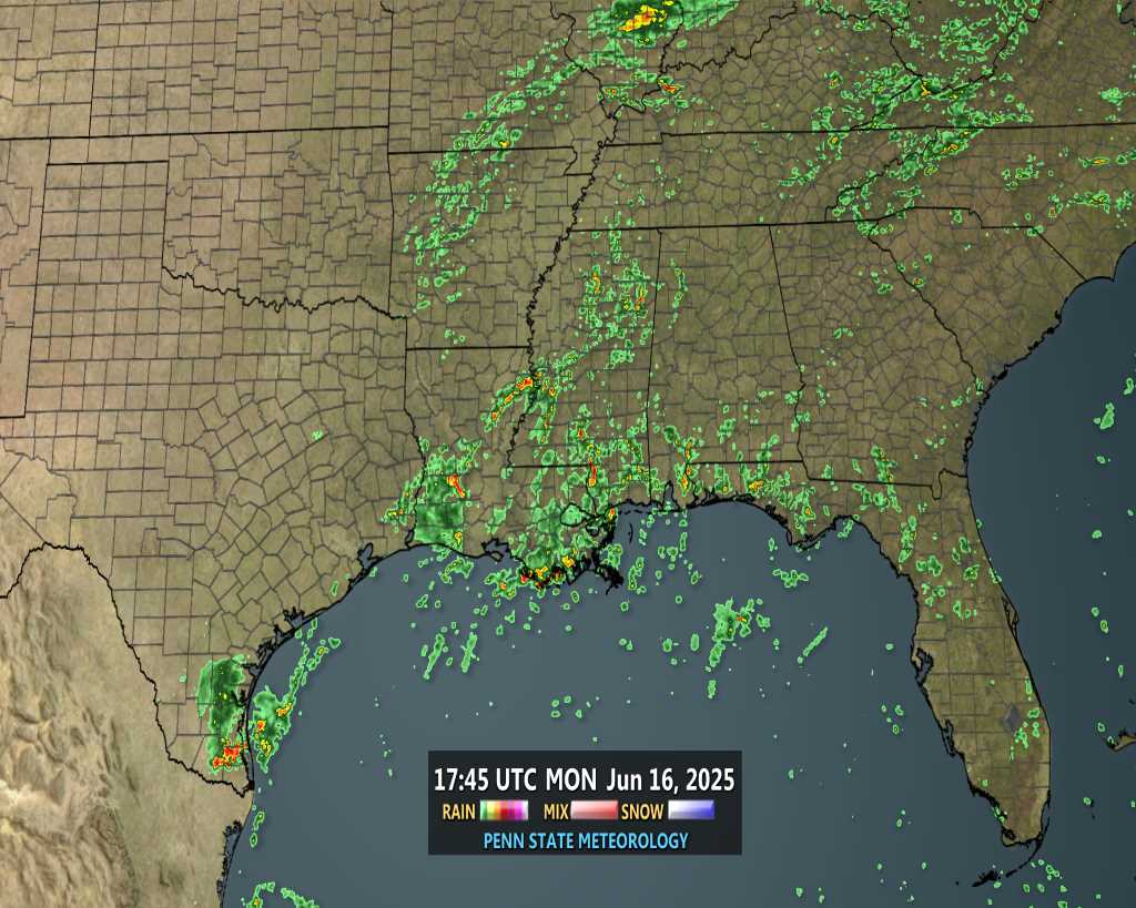
A nice discussion from the Lake Charles, LA boys about the Coastal AL/MS Wx heading west:
revious discussion... /issued 438 PM CDT Thursday Jul 19 2012/
Synopsis...
latest upper air and water vapor analysis shows upper high centered
near the western OK Panhandle/southeast Colorado with disturbances rotating around
its periphery. One of these disturbances is traveling SW across southern
MS and southeast la producing a large complex of thunderstorms from Jackson
to New Orleans.
At the surface...high pressure was ridging across fla into the cntl
Gulf...with moist southerly winds over the area. While things have been
active east of the area today...convection has been mostly
isolated and confined to coastal areas across the lch County Warning Area.
Temperatures have been warm this afternoon with low to middle 90s across
much of the area as of 4 PM...although showers near klch and kbpt
have cooled temperatures to the lower 80s during the past hour.
Discussion...
will keep an eye on convection east of the area through the early
evening hours...with the possibility of a few showers or storms
developing over our eastern zones once the outflow boundary reaches
our zones. However...models show activity diminishing with sunset
so at this time am not anticipating more than a slt chance for
western portions of the Atchafalaya basin. Otherwise...isolated
showers and storms along and south of I-10 should be dissipating
with the loss of daytime heating.
Expect to see a general increase in rain chances through the
weekend...especially over the eastern zones as deeper moisture slides
westward over the area. The upper level high will remain more or less
centered over Colorado through Sunday...with several disturbances
traveling southwestward around the east/southeast periphery of the upper ridge. As is
sometimes the case with a north to NE wind regime aloft...there is the
possibility of a few strong to severe storms and the Storm Prediction Center day three
outlook indicates a low probability of organized severe storms.
At the surface...there will be little change in synoptic features
through the period with surface high pressure ridging over the Gulf
Coast states from the western Atlantic. This will maintain an influx
of Gulf moisture over the region.
By early next week...the upper trough over the southeast states will
retrograde...moving west of the area. The upper high is expected
to build back over the region...helping to limit convection to
mainly the widely scattered diurnal variety. In addition...afternoon highs
are expected to climb back into the middle 90s.

Seawall- Posts : 125
Reputation : 3
Join date : 2012-07-16
 Re: SW LA NWS Wx Discussion
Can we name this episode "As the Low Turns"?

gomexwx- Posts : 641
Reputation : 63
Join date : 2012-07-16
Location : On an Acre somewhere on the gulf Coast
Page 1 of 1
Permissions in this forum:
You cannot reply to topics in this forum


» summer 2019 hurricane season
» April-May Florida weather and local events etc
» NASCAR 2019
» Late January through February outlook
» FLORIDA/ALABAMA AND THE HOLIDAY SEASON WEATHER
» NASCAR 2018
» CLOSED Florida/Alabama Blog - October Tropical Mischief