Latest topics
Warnings
Most Viewed Topics
Search
94L and More
Page 1 of 1
 94L and More
The Gulf of Mexico has a visitor, 94L . 94L is located in the Southwest Gulf of Mexico.
The National Hurricane center has given 94L a 20% chance of tropical development.

My thoughts? I agree with the 20% because the environment around 94L is complicated and shear is in the 30kt range. Should 94L develop the big forecast problems will be more on direction than intensity. My reasoning for this is the jet stream and the jet stream's proximity will keep shear in the 20kt range ahead most of 94L's journey Northward. Now the big forecast question is will 94L get caught up in the NE flow of the of the jet as it pulls out to the NE or Will high pressure build in behind the jet before 94L moves North pushing 94L NW into Texas. only time will tell so for now we can only wait and watch.
Here is 94L:

Current Shear levels:

One thing is for sure this is going to be a wet storm for those on the East side of the circulation .My thoughts are depression or maybe a minimal tropical storm. The Northern Gulf Coast no matter the landfall will receive copious amounts of rain. That rainfall may be the big story of 94L.
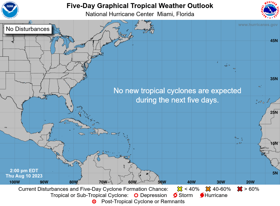
Now for the more: There's a 10% chance of development from tropical wave in the central Atlantic. That's a high percentage for the Central Atlantic this early in the season so it will be watched:)...
The National Hurricane center has given 94L a 20% chance of tropical development.

My thoughts? I agree with the 20% because the environment around 94L is complicated and shear is in the 30kt range. Should 94L develop the big forecast problems will be more on direction than intensity. My reasoning for this is the jet stream and the jet stream's proximity will keep shear in the 20kt range ahead most of 94L's journey Northward. Now the big forecast question is will 94L get caught up in the NE flow of the of the jet as it pulls out to the NE or Will high pressure build in behind the jet before 94L moves North pushing 94L NW into Texas. only time will tell so for now we can only wait and watch.
Here is 94L:

Current Shear levels:
One thing is for sure this is going to be a wet storm for those on the East side of the circulation .My thoughts are depression or maybe a minimal tropical storm. The Northern Gulf Coast no matter the landfall will receive copious amounts of rain. That rainfall may be the big story of 94L.
Now for the more: There's a 10% chance of development from tropical wave in the central Atlantic. That's a high percentage for the Central Atlantic this early in the season so it will be watched:)...

gomexwx- Posts : 641
Reputation : 63
Join date : 2012-07-16
Location : On an Acre somewhere on the gulf Coast
Page 1 of 1
Permissions in this forum:
You cannot reply to topics in this forum


» summer 2019 hurricane season
» April-May Florida weather and local events etc
» NASCAR 2019
» Late January through February outlook
» FLORIDA/ALABAMA AND THE HOLIDAY SEASON WEATHER
» NASCAR 2018
» CLOSED Florida/Alabama Blog - October Tropical Mischief